Hello, Water Valley neighbors!
If you’ve been following along here on The Reynolds Report, you know we’ve had plenty of good news to celebrate lately. From state infrastructure grants to major right-of-way investments, our town is moving forward with purpose. Today, we have another major update on one of our most anticipated community projects: our $1.1 million citywide street resurfacing project officially kicks off this month!
As crews from Falcon Construction prepare to roll in, we want to take a moment to update everyone on what to expect, remind our community how these streets were chosen, and share a few thoughts on why data-backed transparency matters now more than ever for Water Valley.
1. Work Begins This Month: Stay Tuned for Real-Time Updates
Paving equipment will be hitting local pavement before the month is out. Because resurfacing involves heavy machinery and temporary lane adjustments, keeping you informed in real time is our top priority.
- Where to watch: We will be posting ongoing updates right here on The Reynolds Report blog and across our official social media channels. (Visit us on Facebook & Instagram!)
- What to look for: Look out for upcoming posts detailing specific street sequences, daily timelines, and temporary traffic reroutes so you can plan your daily drive without surprises.
2. Guided by Lasers, Not Lines: How Streets Were Chosen
When Mayor Tommy Reynolds championed the state’s Internet Sales Tax law (the Mississippi Infrastructure Modernization Act) during his legislative tenure, the goal was simple: bring local digital dollars back home to fix physical hometown roads. With over $1 million secured for Water Valley’s streets, every single taxpayer cent needed to go exactly where it was required most.
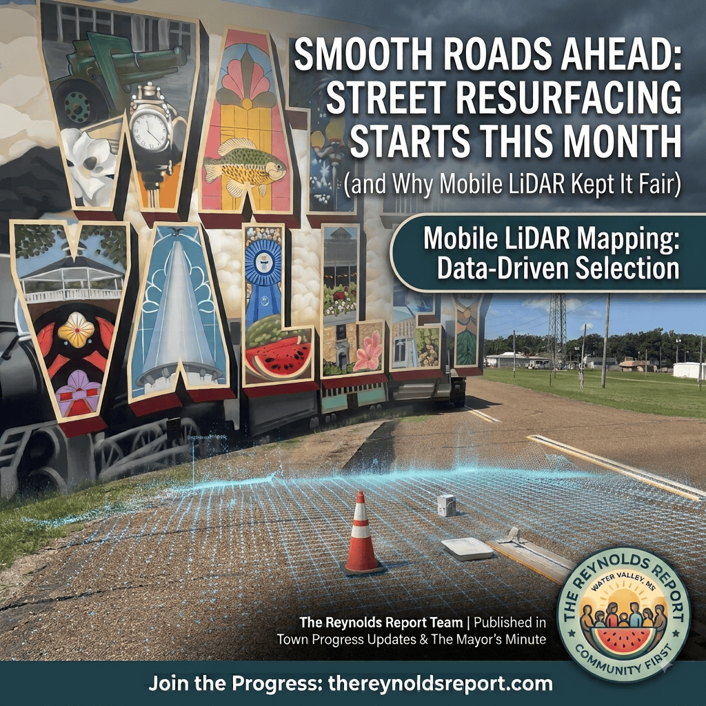
That is why Water Valley became the first municipality in Mississippi to deploy Mobile LiDAR (Light Detection and Ranging) laser mapping technology across our entire street grid.
Instead of relying on guesswork, political preferences, or ward-by-ward division, a high-tech mapping vehicle scanned every road in town down to the millimeter. Advanced computer software generated a 3D digital model of our streets, identifying hidden structural flaws, alligator cracking, and severe dip points that the human eye simply can’t measure.
The result? The streets slated for resurfacing in this contract were chosen purely on physical condition and engineering need. Every neighbor gets equal consideration because the laser doesn’t care about political lines—it only cares about road quality.
3. A Look at the Numbers: Why Data-Driven Decisions Matter
Using objective data from tech like LiDAR protects taxpayers from outdated administrative boundaries. To see why that’s so important, we only need to look at our town’s current Ward population figures.
Under federal Constitutional standards and Mississippi election laws, municipal ward boundaries are supposed to maintain relatively equal populations to guarantee equal representation for every citizen (“one person, one vote”). Typically, total population deviation across all wards should remain within a 10% threshold.
However, looking at our current population counts by Ward, Water Valley’s lines have become noticeably out of balance over time:
| Ward | Population | Ideal Pop. per Ward | Deviation from Target |
|---|---|---|---|
| Ward 1 | 1,324 | ~845 | +56.69% |
| Ward 2 | 623 | ~845 | -26.27% |
| Ward 3 | 730 | ~845 | -13.61% |
| Ward 4 | 703 | ~845 | -16.80% |
Source: Water Valley, MS – Ward Map with Populations(PDF).
Note: With an overall population of approximately 3,380 residents across 4 wards, the overall deviation spread between our highest-populated ward (Ward 1) and lowest-populated ward (Ward 2) exceeds 82.96%—well beyond the standard 10% legal deviation limit.
These numbers show that our current Ward maps are distinctly out of kilter. (Looking down the road, updating and redistricting our municipal Ward lines is an important civic necessity that our town will eventually need to address.)
Thankfully, when it came to paving your streets, we didn’t have to wait on ward lines or outdated population maps. By relying on LiDAR scanning technology rather than political boundaries, we ensured that road repair priority went strictly to the worst roads first, regardless of which Ward you happen to call home.
What’s Next?
Our priority today is delivering smooth, durable, high-quality streets to every neighborhood in Water Valley cleanly and efficiently.
Keep an eye on this space over the coming days as we release the finalized street-by-street paving schedule. Thank you for your continued support, your patience as construction begins, and your shared pride in building a brighter, smoother future for Water Valley!
Have questions or thoughts about the upcoming street project? Send us a note at [email protected] or drop a comment on our social media channels!